Walking In The Lake District
In search of the perfect walking trail? Look no further! From challenging trails for thrill-seeking hikers to leisurely strolls through scenic valleys. We have compiled a collection of our favourite routes just for you.
-

Great & Little Langdale Circle 15km loop
A great walk from your door. This walk is full of variety, from the sweeping views of the high fells of Great Langdale, to the gentler beauty of Little Langdale and Blea Tarn. Despite its length there is only a modest amount of uphill walking.
You could incorporate the Three Shires Pub in Little Langdale if you wanted a lunch stop
Map -
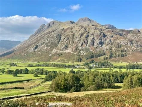
Lingmoor Fell Walk 10km loop
Dividing the valleys of Great and Little Langdale, Lingmoor Fell gives magnificent views over both. From the door again. Pathfinding is straightforward but beginning the ascent of Side Pike requires a degree of surefootedness and a head for heights. The route back is through the beautiful mixed woodland of the lower valley slopes.
Map -
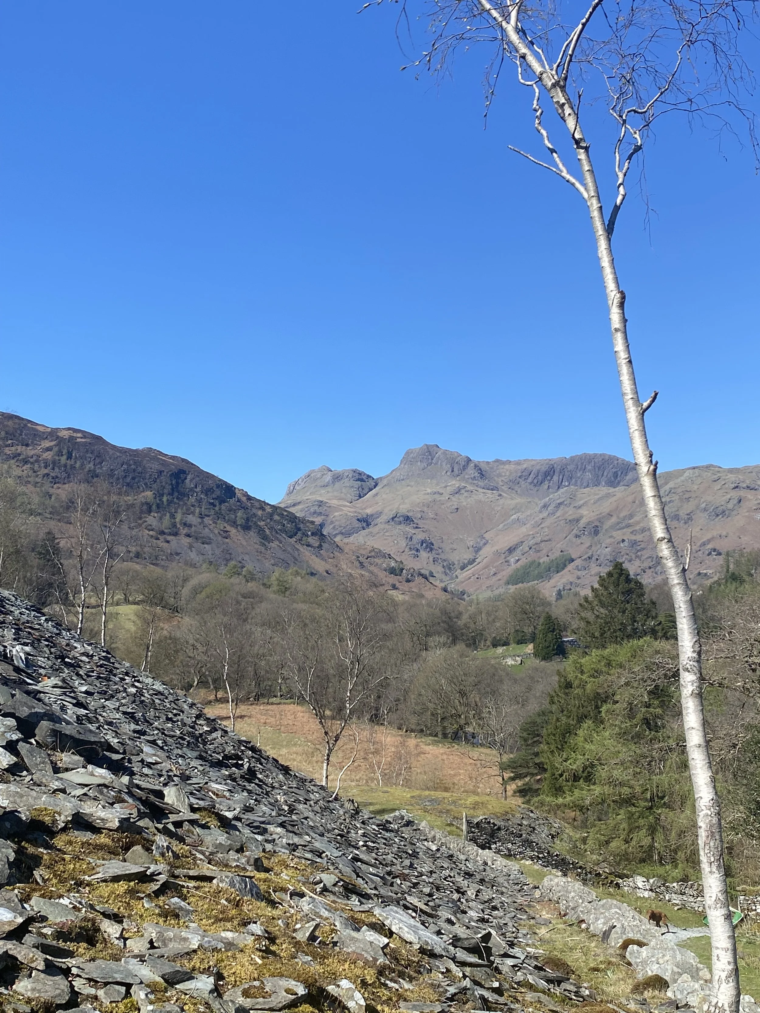
Quarry loop 5km loop
This is a straightforward circular walk exploring the wooded south-western edge of the valley floor before circling back through sheep pastures and along the river. Short initial climb into quarry otherwise only gentle gradients.
Map -
Great Langdale valley floor 10km loop
Can be done either way but we prefer anticlockwise. Pit stops along the way include Stickle barn and Old Dungeon Ghyll pubs. Undulating walk with very little ascent. goes here
Map -
Skelwith Bridge and Chesters by the river 4km one way
The path down the valley is always on the children’s list as it is flat,easy….. and leads to Chester’s in Skelwith Bridge which has the best cakes anywhere! A good option is to get the bus back up to Chapel Stile goes hourly
Map -
Mickledon loop 3.7km
From the Old Dungeon Ghyll car park follow the path around the back of Middle Fell Farm along the valley towards Bowfell but only as far as the bridge across the river, returning via Stool End Farm.
Map -
Blea Tarn and Side Pike 3.5km loop
Park at the National Trust car park for Blea Tarn. Enjoy one of the most photographed views in the Lake District, the tarn with the fells in the background. You can loop back down the road, but we prefer to pop up Side Pike on our way around
Map -
Stickle Tarn 3.2km loop
We never visit without going up to Stickle Tarn at least once. If you are looking for more, you can use this as the start of a longer walk or vary it slightly by returning via the path down Dungeon Ghyll instead of retracing your route. This is a very steep up and down.
Map -
Bow Fell via the Band 12km
England’s 6th highest peak. A great and challenging circular route ascending via The Band, views from the top are spectacular. If you want to extend it slightly you can take in Esk Pike as well. This is also part of a mammoth day walk that leads to Scafell Pike.
Park up the valley at the Old Dungeon Ghyll national trust car park for this one if you don’t get the bus!
Map
